Home · Vantor Hub
Vantor Hub
A recurring-access route for organizations that need imagery discovery, tasking, basemaps, 3D content, analytics or APIs in one working environment.
INTERNAL REVIEW: Confirm exact subscription packages, commercial entitlements and the SIME support model for each package before publication.
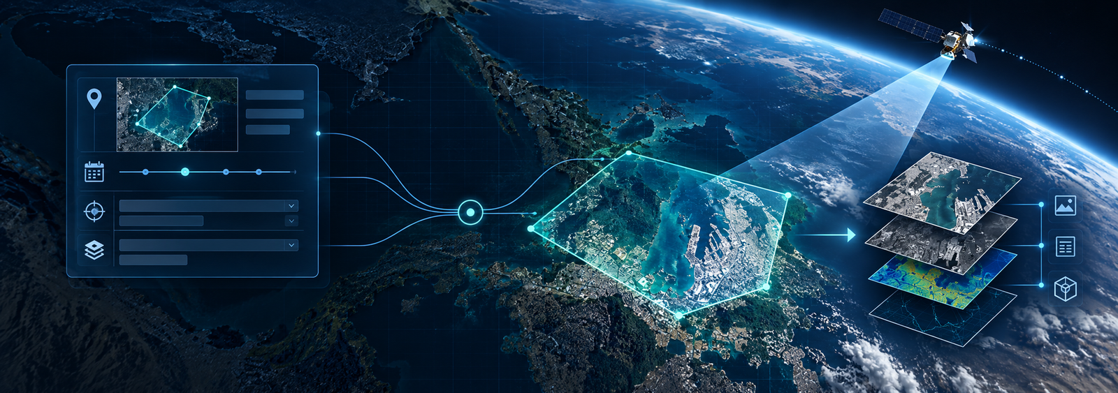
What this solution can include.
SIME combines acquisition, production, GIS and integration where that creates a better operational result than isolated technology delivery.
Archive discovery
Designed as part of an end-to-end SIME delivery workflow and integrated with related geospatial capabilities where required.
WorldView tasking
Designed as part of an end-to-end SIME delivery workflow and integrated with related geospatial capabilities where required.
Vivid 2D basemaps
Designed as part of an end-to-end SIME delivery workflow and integrated with related geospatial capabilities where required.
Terrain / 3D content
Designed as part of an end-to-end SIME delivery workflow and integrated with related geospatial capabilities where required.
Analytics and APIs
Designed as part of an end-to-end SIME delivery workflow and integrated with related geospatial capabilities where required.
SIME onboarding and account support
Designed as part of an end-to-end SIME delivery workflow and integrated with related geospatial capabilities where required.
Where it fits.
Frequent imagery users
Define the operational objective, required geography and output; SIME can help shape the technical route.
Multi-department access
Define the operational objective, required geography and output; SIME can help shape the technical route.
Application/API integration
Define the operational objective, required geography and output; SIME can help shape the technical route.
Start with the requirement.
Send the location, business objective, timing and expected output. The detailed technology choice follows from those constraints.
- Requirement and stakeholder review
- Data / technology recommendation
- Commercial and licensing route
- Production or implementation
- QA, delivery and support
Tell us the place and the problem.
Start with the operational requirement. SIME can help determine the appropriate imagery, aerial, GIS or location-technology route.