
Archive Imagery or New Tasking: How to Choose the Right Route
Archive imagery and new tasking solve different problems. This detailed guide explains how to choose between them based on timing, AOI, cloud risk, historical needs, monitoring frequency, processing, licensing and project economics.

What 15 cm HD Satellite Imagery Actually Means — and When It Adds Value
15 cm HD is an enhanced product created from native 30 cm WorldView imagery. This article explains what that means technically, what HD processing can improve, what it cannot create, and when the additional visual detail is valuable.

Planning an Aerial Survey in the UAE: What Affects Mobilisation and Collection
An aerial survey is a coordinated acquisition and production programme, not simply a flight. This detailed guide covers scope definition, permissions, GSD, ground control, weather, sensors, LiDAR, QA, processing and delivery considerations in the UAE.

From Raw Imagery to Map-Ready Data: What Image Processing Really Does
Raw satellite and aerial imagery is rarely the final operational product. This detailed guide explains orthorectification, mosaicking, radiometric balancing, seam-line correction, pyramids, tiling, compression, QA and the decisions required to produce reliable map-ready data.

Enterprise GIS Modernisation: Five Questions to Ask Before You Rebuild
Enterprise GIS modernisation should begin with users, data, integrations and operating requirements—not a software shopping list. This detailed guide expands five essential questions into a practical framework for architecture, migration, governance and implementation.
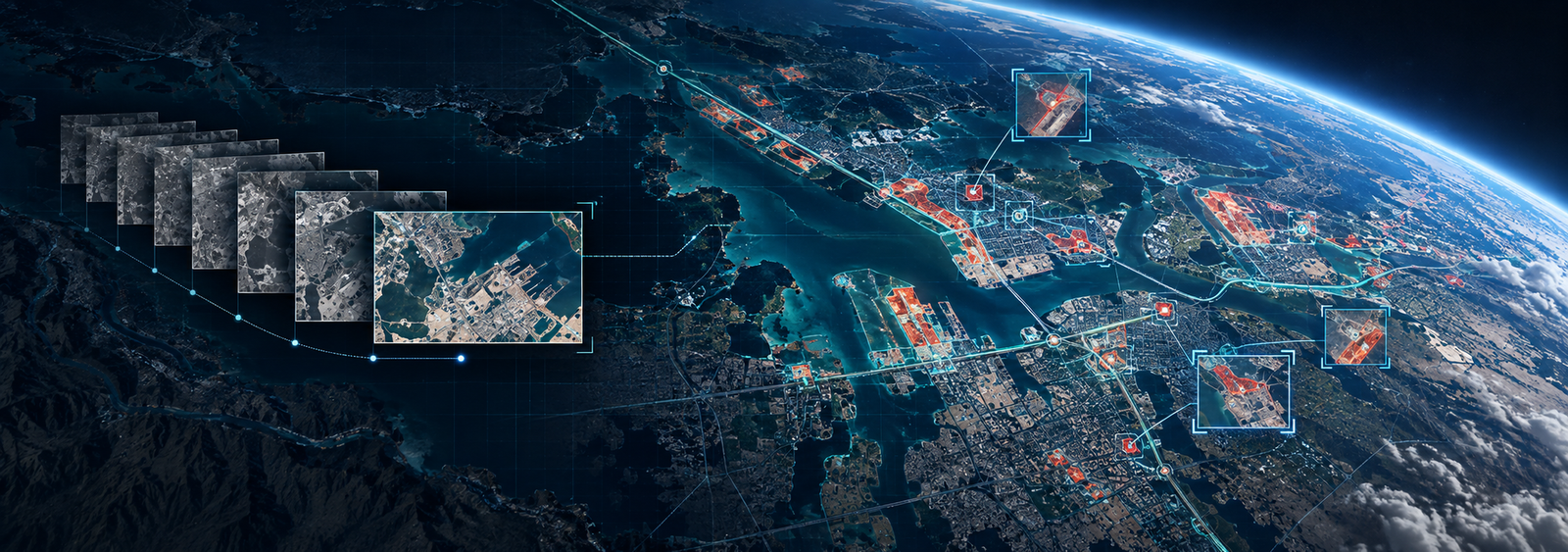
Monitoring Change at Scale: Where Geospatial Automation Can Help
Large-area change monitoring is not solved by simple image subtraction. This detailed article explains alignment, radiometric normalization, candidate detection, feature extraction, false positives, QA, precision/recall, polygon outputs and where human review remains essential.

When a Vantor Hub Subscription Makes More Sense Than One-Off Imagery Orders
One-off imagery orders and subscription access solve different operational problems. This detailed guide explains when Vantor Hub can be a better model for recurring discovery, tasking, basemaps, 3D, APIs, multi-user access and enterprise integration.

Google Maps Platform for Government and Enterprise: Planning Beyond the Map
A production Google Maps Platform implementation is about much more than showing a basemap. This detailed article covers API selection, architecture, security, billing, quotas, Places, geocoding, routing, monitoring, governance and enterprise integration.

Elevation, 3D and Terrain Data: Choosing the Right Surface for the Job
Elevation data is not one product. This detailed guide explains DEM, DTM, DSM, stereo-derived terrain, resolution versus accuracy, vertical datums, WorldView 3D, aerial and LiDAR alternatives, QA and how to specify the right surface for a project.

How to Prepare a Better Satellite Imagery Request: AOI, Timing, Purpose and Output
You do not need to know the satellite or product code to submit a strong imagery enquiry. This detailed procurement guide explains how to define AOI, timing, purpose, resolution needs, processing, cloud constraints, delivery and licensing so suppliers can respond accurately.